How Mountains Form
The Himalayas are still growing. Here is the science of how mountains rise and fall.
The Himalayas formed when the Indian and Eurasian plates collided about 50 million years ago. GPS measurements show they are still rising. Mount Everest grows by about 2 millimetres per year. Convergence rates along the arc range from 10 to 26 millimetres per year.
Three numbers
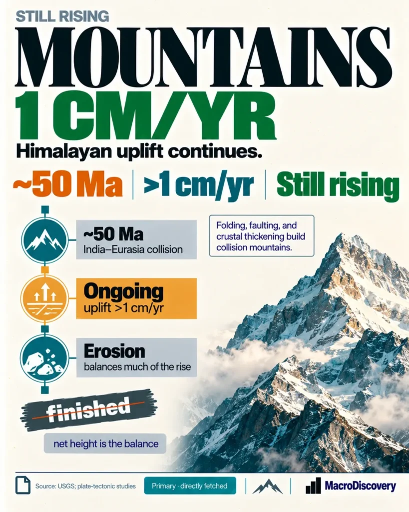
- ~50 million years — start of the India-Eurasia collision that built the Himalayas. Source: USGS and standard plate-tectonic reconstructions.
- ~2 millimetres per year — current uplift rate of Mount Everest measured by GPS. Source: GPS data cited in 2024 Nature Geoscience study and related reports.
- 10–26 millimetres per year — range of surface convergence rates along the Himalayan arc from three decades of GPS data. Source: GPS deformation studies of the Himalaya.
What the data shows
A common claim is that mountains form quickly and then stand still. The fact is that major mountain ranges form over tens of millions of years through plate collision and continue to move for as long as the plates converge. The Himalayas are the clearest living example. About 50 million years ago the Indian plate, which had been moving northward at high speed, collided with the Eurasian plate. Continental crust is too buoyant to subduct easily, so the collision thickened the crust and drove it upward. USGS describes the Himalayas as the result of this collision, with peaks rising more than 9 km in 50 million years. The process has not stopped. GPS networks across the arc measure ongoing surface convergence of 10 to 26 millimetres per year in different segments. Vertical uplift continues. Mount Everest is rising at about 2 millimetres per year according to GPS measurements.
Uplift and erosion operate together. Rivers and glaciers remove rock. When mass is removed, the crust rebounds isostatically. A 2024 study in Nature Geoscience showed that river capture about 89,000 years ago increased erosion near Everest and added an extra component of uplift through this rebound, contributing to the observed ~2 mm/year rate. Across the broader Himalaya, tectonic shortening on the Main Himalayan Thrust continues to raise the range. The net height at any moment is the balance between tectonic uplift and erosional lowering. While the plates continue to converge, the mountains continue to rise faster than erosion removes them in the high peaks.
Mountains also fall. When convergence slows or ends, erosion dominates. Over tens of millions of years a range can be worn down to lower relief. The Appalachians are an older orogen that has been extensively eroded. The Himalayas remain active because the India-Eurasia collision is ongoing. The measured rates — 10–26 mm/yr horizontal convergence and ~2 mm/yr vertical rise at Everest — are direct geodetic evidence that the range is still growing. The science of mountain building is therefore a continuous process of plate convergence, crustal thickening, uplift, erosion and isostatic adjustment, not a finished event.
| Stage | Process |
|---|---|
| ~50 million years ago | India-Eurasia collision begins; crust thickens and uplifts |
| Ongoing | Surface convergence 10–26 mm/yr; Everest ~2 mm/yr uplift |
| Erosion + isostasy | Rivers remove mass; crust rebounds; net height is the balance |
| Long term | When convergence ends, erosion lowers the range |
Collision timing from USGS and plate reconstructions. Uplift and convergence rates from GPS measurements. Everest rate and isostatic contribution from 2024 Nature Geoscience study and GPS data. Erosion-isostasy balance is standard geomorphology.
How it was measured
Collision timing comes from plate-tectonic reconstructions and geological evidence summarised by the USGS. Current rates come from multi-decade GPS networks that measure millimetre-scale surface motion. The ~2 mm/year Everest figure is from GPS instruments. The 2024 Nature Geoscience paper modelled the additional isostatic contribution from river-driven erosion. The claim that mountains form and then stop is contradicted by these ongoing geodetic measurements.
What it means
It is settled that the Himalayas formed by the India-Eurasia collision beginning about 50 million years ago and that they are still rising. It is settled that GPS measures ~2 mm/year uplift at Everest and 10–26 mm/year convergence along the arc. It is settled that erosion and isostatic rebound also affect height. It is not settled that every peak rises at the same rate — rates vary by segment. Use the GPS rates as the measured evidence of ongoing growth. Do not treat mountain formation as a finished process.
Common misreadings
- Mountains do not form quickly and then stand still. Active ranges continue to rise while plates converge.
- The Himalayas are still growing. GPS shows millimetre-per-year uplift.
- Height is a balance of tectonic uplift and erosion, not pure uplift alone.
Where the numbers come from
How we built this
- Dataset: USGS plate-tectonic summary. Multi-decade GPS networks. 2024 Nature Geoscience study on Everest and isostasy.
- Scope: Continent-continent collision. Ongoing convergence and uplift. Balance of tectonics and erosion.
- Figures: ~50 million years. ~2 mm/year Everest. 10–26 mm/year convergence.